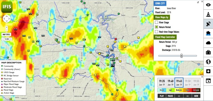
With wet conditions persisting and more rain predicted, a tool created by the Iowa Flood Center at the University of Iowa can provide useful information to Iowa cities and residents.
The Iowa Flood Information System (IFIS) draws data from hundreds of US Geological Survey and IFC gauges, radar, and National Weather Service forecasts. Using these tools, IFIS is able to calculate flood risk, provide directions based on current weather conditions, view stream levels at over 300 locations, and much more — all in real time.
The interactive application is based on a Google Maps interface, allowing users to view a wide range of data specific to their communities. It is also available on tablets and mobile devices.
The goal of the IFIS is to educate communities and individuals on flood risks in order to minimize future damages.
To learn more about the IFIS and try it yourself, click here.